Table of Contents
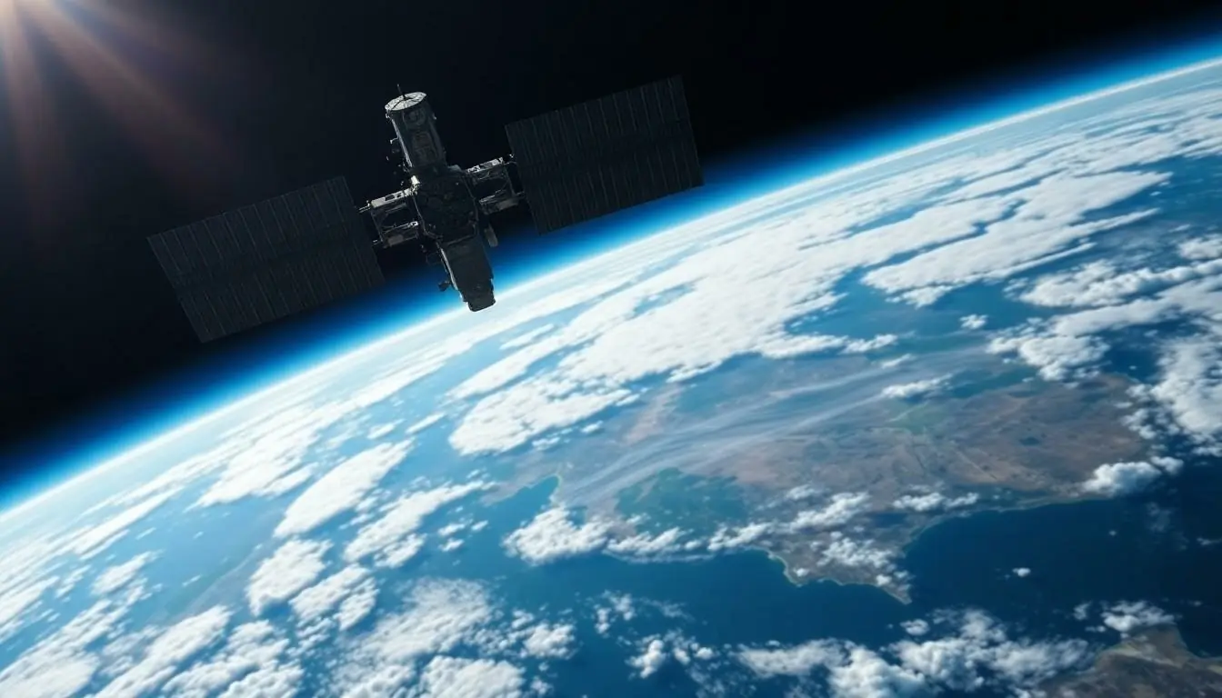
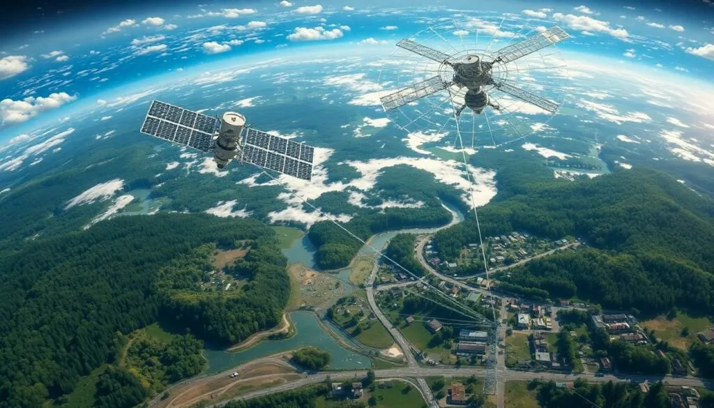
ToggleEver looked up at the sky and wondered how meteorologists predict the weather with such uncanny accuracy? Spoiler alert: it’s not just magic or a really good guess! The secret lies in the sophisticated technology orbiting our planet, gathering crucial data for weather, climate, and environmental monitoring.
Overview of Earth Observation Technologies
Earth observation technologies play a crucial role in data collection for weather, climate, and environmental monitoring from space. Satellites equipped with these technologies provide precise information needed for accurate forecasts.
Synthetic aperture radar (SAR) systems capture high-resolution images, enabling detailed analysis of surface changes. These systems can penetrate cloud cover, ensuring consistent data collection regardless of weather conditions.
Polar orbiting satellites circle the Earth, collecting comprehensive coverage across various regions. They track atmospheric conditions, land use, and ocean temperatures, providing a holistic view of the planet’s state.
Geostationary satellites maintain a fixed position relative to the Earth, continuously monitoring specific areas. These satellites deliver real-time data, crucial for severe weather tracking and rapid response to disasters.
Remote sensing instruments measure various environmental parameters, including temperature, humidity, and particulate matter. These measurements support climate change studies and help to identify trends over time.
Advanced data processing techniques, such as machine learning algorithms, enhance the ability to analyze vast datasets. Processing these datasets allows researchers to uncover insights that inform policy decisions and climate action strategies.
In-situ sensors deployed on the ground complement satellite data. They provide localized measurements that inform models used to predict weather patterns and climate dynamics.
By integrating data from various Earth observation technologies, scientists gain a more accurate understanding of environmental systems. This integration leads to improved climate models, which serve essential functions in hazard mitigation and sustainable management.
Satellite Instruments for Weather Monitoring

Satellite instruments play a crucial role in collecting data for weather and climate monitoring. These advanced technologies provide insights into atmospheric conditions, ocean temperatures, and environmental changes.
Remote Sensing Satellites
Remote sensing satellites capture data about the Earth’s surface and atmosphere without direct contact. These satellites utilize various sensors to monitor land cover, vegetation, and water bodies. Unique features enable them to detect changes over time, aiding in climate research and disaster management. For instance, the Landsat series provides valuable images that help track land use changes. Meanwhile, the European Space Agency’s Copernicus program focuses on monitoring environmental parameters, including air quality and greenhouse gas emissions. This diverse data collection enhances understanding of climate dynamics and fosters more informed decision-making.
Radar and Lidar Technologies
Radar and lidar technologies contribute significantly to weather monitoring from space. Radar systems emit microwave signals that bounce off precipitation, enabling the analysis of storm systems and rainfall intensity. Ground-based radar networks complement satellite data to improve short-term forecasting. On the other hand, lidar uses laser light to measure distances and can determine cloud heights and atmospheric composition. NASA’s CALIPSO satellite employs this technology to study cloud structures and aerosol distributions, enhancing knowledge of their impact on climate. The integration of radar and lidar data leads to improved models for predicting severe weather events and understanding long-term atmospheric trends.
Climate Data Collection Technologies
Climate data collection relies on various technologies that monitor weather, climate, and environmental conditions from space. These sophisticated systems provide essential information needed for accurate predictions and analyses.
Climate Satellites
Climate satellites play a vital role in gathering data about Earth’s atmosphere and surface. Equipped with sensors, these satellites measure temperature, humidity, and atmospheric pressure. Polar orbiting satellites, like NASA’s Aqua and Terra, cover the entire planet, providing comprehensive insights into ocean temperatures and land use. On the other hand, geostationary satellites, such as the GOES series, deliver real-time data focused on specific regions, making them crucial for immediate weather monitoring and disaster response.
Ground-Based Network Integration
Ground-based networks enhance satellite data by providing localized measurements. Instruments like weather stations and remote sensors collect critical information about air quality, precipitation, and soil moisture. This data complements satellite information, ensuring a more accurate understanding of environmental conditions. Integrating these networks into climate models increases precision in predictions and helps address climate-related challenges. Collectively, these technologies form a robust framework for climate monitoring, offering insights that inform policy decisions and promote sustainability.
Environmental Monitoring Technologies
Advanced technologies play a critical role in collecting data for environmental monitoring from space. These technologies enable detailed observations of various climate and environmental factors.
Environmental Satellites
Satellites provide comprehensive data essential for understanding climate dynamics. Earth observation satellites, including those from NASA and ESA, utilize advanced instruments to monitor atmospheric conditions. For example, NASA’s Aqua satellite captures critical information about temperature and humidity levels. Geostationary satellites maintain constant watch over specific regions, facilitating real-time updates during severe weather events. Polar orbiting satellites ensure global coverage, tracking land use changes and ocean temperatures to enhance climate models.
Sensor Technologies and Their Applications
Sensors contribute valuable data for assessing environmental parameters. Remote sensing instruments measure surface temperature and vegetation health, essential for climate change research. These sensors work alongside satellites, enhancing data accuracy and reliability. Ground-based sensors provide localized air quality and precipitation metrics, complementing satellite findings. Their integration allows scientists to analyze changes in ecosystems and weather patterns more effectively. By leveraging these technologies, researchers gain a deeper insight into environmental systems, crucial for making informed policy decisions.
Challenges and Limitations of Current Technologies
Current weather and climate monitoring technologies face several significant challenges. Data accuracy remains a concern, especially when satellite measurements are influenced by atmospheric conditions. Satellites like NASA’s Aqua and Terra provide critical data, yet they can sometimes experience calibration issues, which may affect the quality of the information collected.
Latency in data transmission poses another obstacle. Geostationary satellites offer real-time updates, but polar orbiting satellites may have delays in delivering information. Time-sensitive applications, such as severe weather warnings, require accurate, promptly delivered data to ensure public safety.
Data integration challenges also exist. Combining satellite data with in-situ sensor readings often leads to inconsistencies due to differing methodologies and calibration standards. Researchers must address these discrepancies to create robust climate models.
Limited spatial resolution of some satellite instruments restricts the ability to capture fine-scale environmental changes. For instance, remote sensing technologies may overlook local variations in air quality due to the broad areas they monitor. Enhanced resolution instruments, such as synthetic aperture radar, provide detailed imaging, but they may not cover the entire spectrum of climate data needed for comprehensive analysis.
Funding and resource constraints impact the development and maintenance of these complex technologies. Budget limitations can affect the launch of new satellites and the upgrade of existing systems. Long-term environmental monitoring relies on sustained investment to adapt to evolving challenges.
Finally, public data accessibility often hinders effective utilization. Not all datasets from satellite missions are publicly available, limiting researchers’ and policymakers’ ability to leverage valuable information. Simplifying access to these datasets could lead to improved collaboration and more substantial advancements in climate science.
The integration of advanced technologies for weather climate and environmental monitoring from space plays a crucial role in understanding our planet’s dynamics. Satellites equipped with sophisticated instruments provide invaluable data that enhances weather predictions and climate models. While challenges like data accuracy and accessibility remain, ongoing advancements continue to improve monitoring capabilities.
As researchers and policymakers strive for better environmental insights, the collaboration between satellite data and ground-based sensors becomes increasingly vital. By addressing existing limitations and enhancing data sharing, the scientific community can foster a deeper understanding of climate change and its impacts. This collective effort is essential for promoting sustainability and effective disaster response in an ever-changing world.


